World Heritage Identification Number: 608
World Heritage since: 1991
Category: Natural Heritage
WHE Type: Protected Areas & National Parks
Transboundary Heritage: No
Endangered Heritage: No
Country: 🇮🇩 Indonesia
Continent: Asia
UNESCO World Region: Asia and the Pacific
Map
Ujung Kulon National Park: A Unique Haven for Endangered Species and Natural Wonders
Ujung Kulon National Park, inscribed as a UNESCO World Heritage Site in 1991, is a remarkable treasure trove of biodiversity and geological wonders nestled in the far southwest corner of Java, Indonesia. The park spans across the Ujung Kulon peninsula, several offshore islands, and encompasses the natural reserve of Krakatoa, which was once part of the park but is now recognized as a separate protected area, the Pulau Anak Krakatau Marine Nature Reserve.
More to come…UNESCO Description of the World Heritage Site
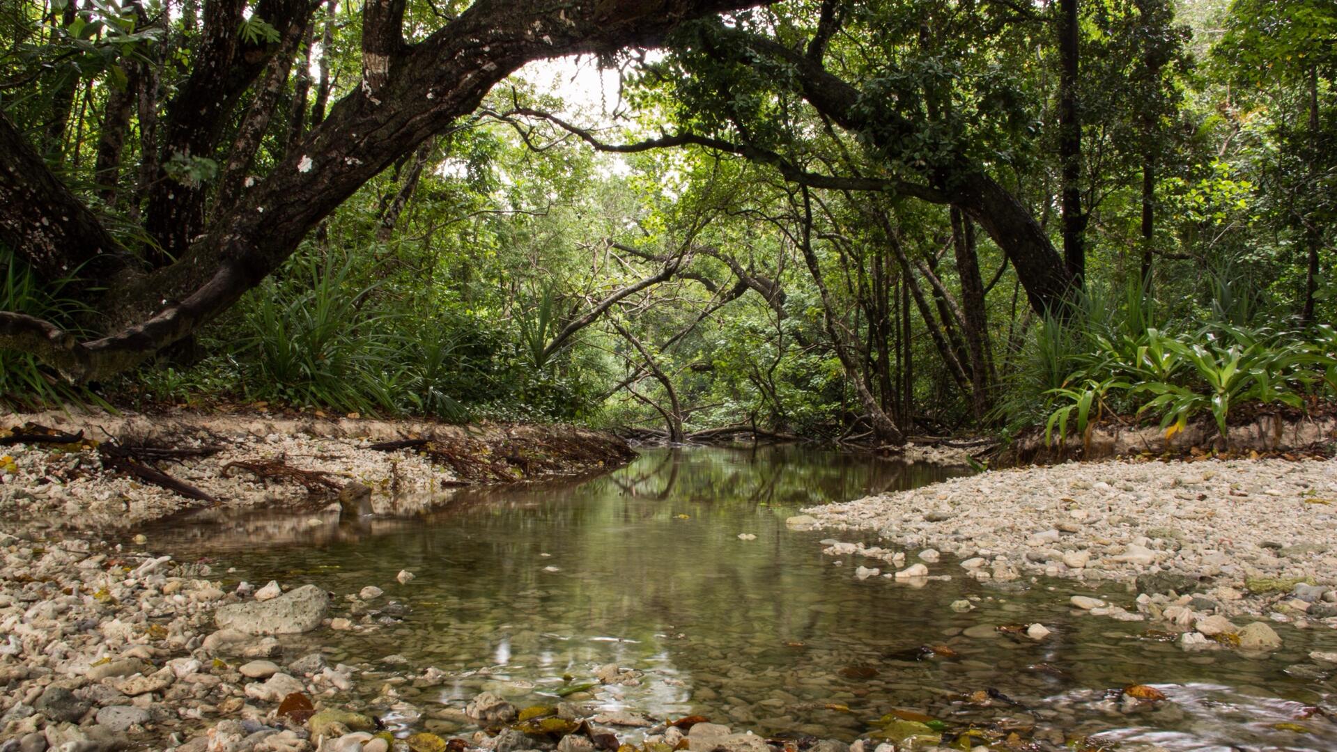
This national park, located in the extreme south-western tip of Java on the Sunda shelf, includes the Ujung Kulon peninsula and several offshore islands and encompasses the natural reserve of Krakatoa. In addition to its natural beauty and geological interest – particularly for the study of inland volcanoes – it contains the largest remaining area of lowland rainforests in the Java plain. Several species of endangered plants and animals can be found there, the Javan rhinoceros being the most seriously under threat.
Encyclopedia Record: Ujung Kulon National Park
Ujung Kulon National Park is a national park at the westernmost tip of Java, located in Sumur District of Pandeglang Regency, part of Banten province in Indonesia. It once included the volcanic island group of Krakatoa in Lampung province, although current maps has suggested the Krakatoa island group as its own protected area, the Pulau Anak Krakatau Marine Nature Reserve.Additional Site Details
Area: 78,525 hectares
(x) — Contains most important habitats for biodiversity
Coordinates: -6.75 , 105.3333333
IUCN World Heritage Outlook
The 2025 Conservation Outlook on Ujung Kulon National Park reports the following assessment:
Source: International Union for Conservation of Nature (IUCN) · View assessment